Atwima Kwanwoma
Nweneso No. 1 & No. 2
Approximately 100 acres were reported as the reclamation programme target. That figure is not a surveyed development parcel.
Documented pits, disturbed land and ongoing reclamation reporting.
Explore location →
Published images, documented damage and candidate locations provide the starting point for a responsible restoration and development vision.
These flat-terrain illustrations show mining damage, reclamation and field assessment. They are not photographs of the candidate locations. Current site conditions and boundaries require field inspection and survey.
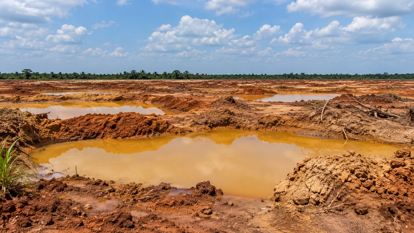
Flat mining-affected land with excavated pits and disturbed soil, illustrating the starting point for assessment.
AI-generated illustration · Not an existing or approved project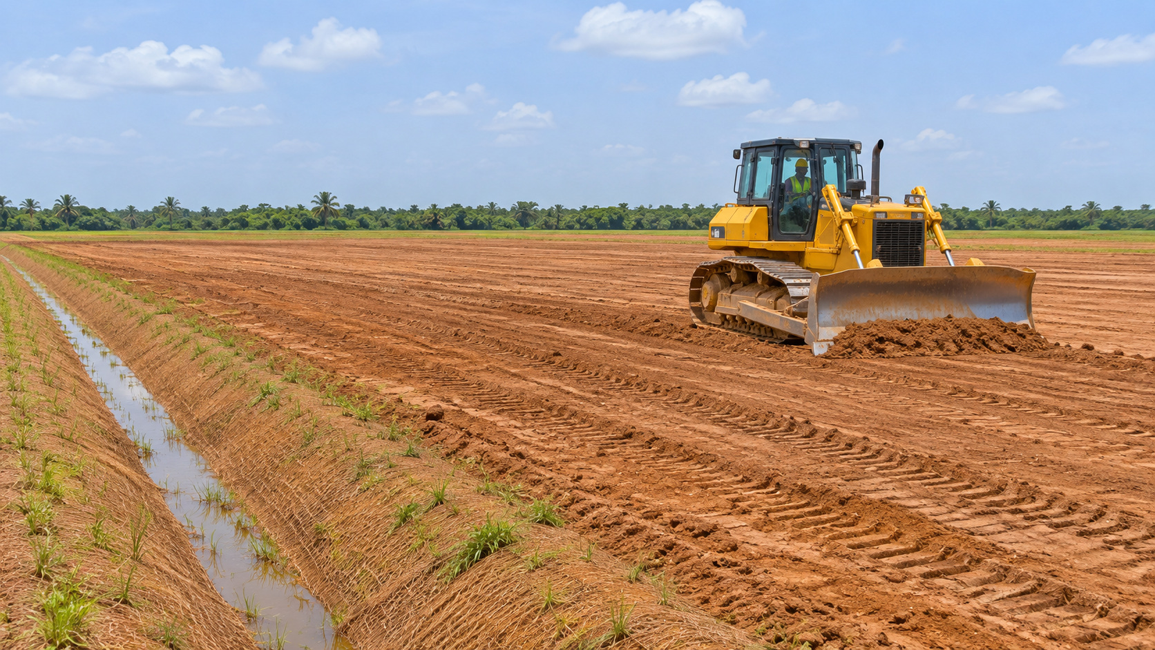
Grading and drainage work illustrate how land could be prepared for safe, appropriate future uses.
AI-generated illustration · Not an existing or approved project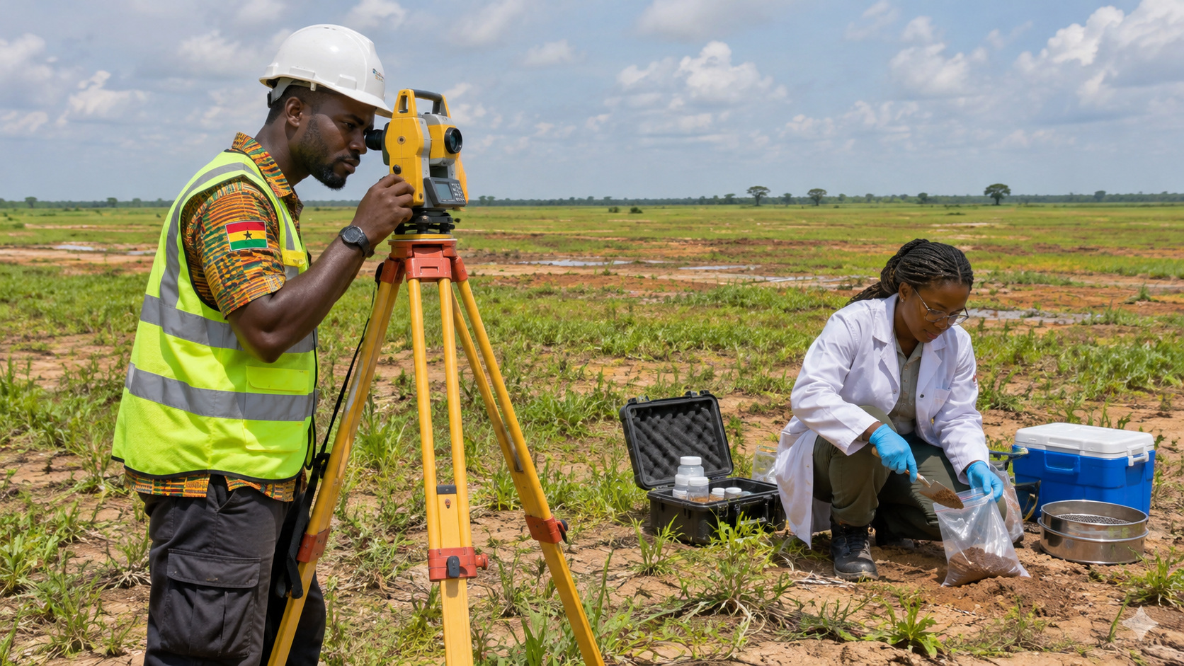
Surveying and environmental sampling inform the decision about what each parcel can support.
AI-generated illustration · Not an existing or approved projectAdditional views illustrate common forms of mining-related land damage. Select an image to inspect it full-screen. These visuals are illustrative and do not establish conditions at any identified parcel.
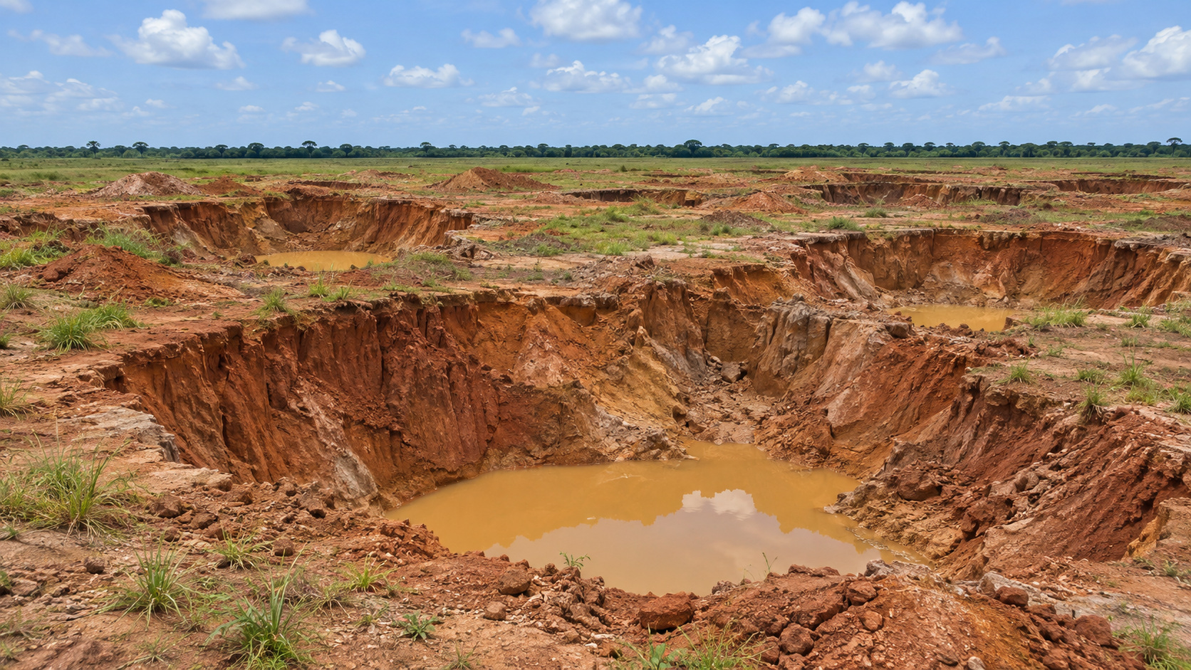
Unfilled excavations and exposed earth walls illustrate the hazards that a site survey must map.
AI-generated illustration · Not a photograph of a candidate site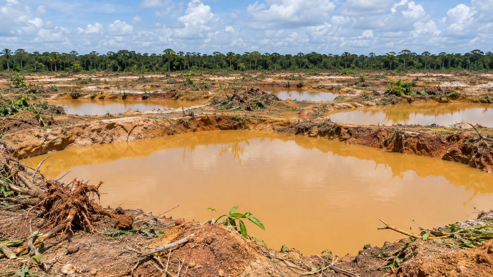
Muddy standing water and disturbed banks illustrate why drainage, water quality and safety assessments matter.
AI-generated illustration · Not a photograph of a candidate site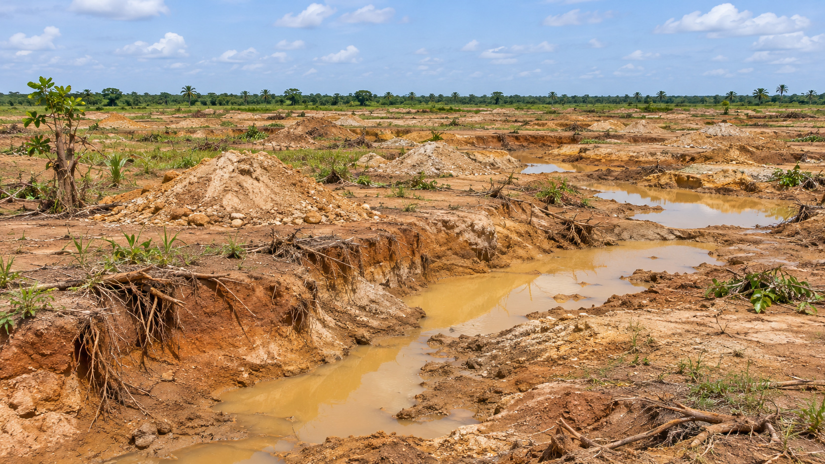
Removed vegetation, exposed roots and broken ground show the types of damage reclamation planning must address.
AI-generated illustration · Not a photograph of a candidate siteAdditional flat-terrain illustrations explore the wider damage pattern, drainage works and landscape recovery. Select an image for a full-screen view.
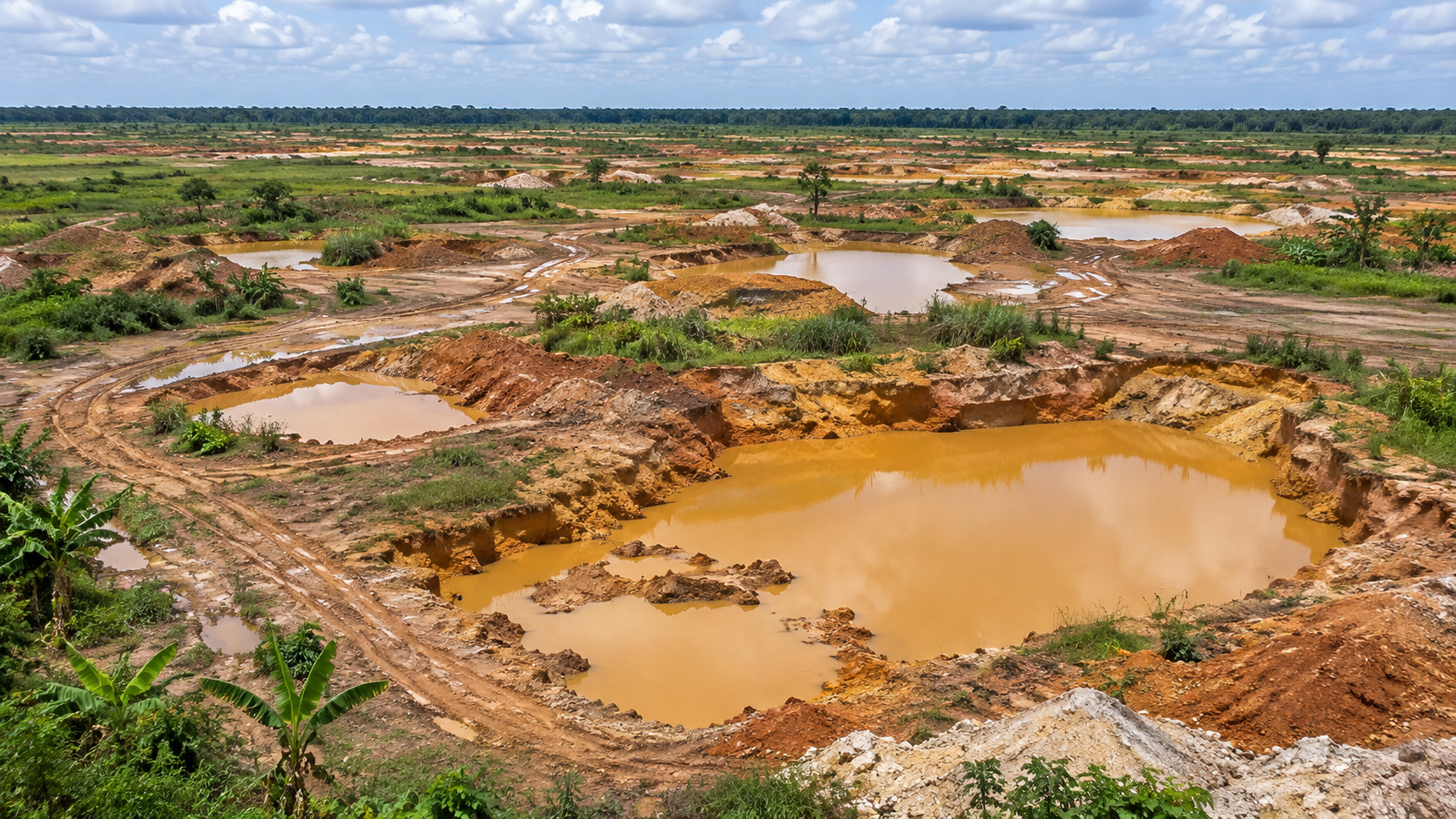
An illustrative aerial view shows how multiple excavations can affect a broad area of level land.
AI-generated illustration · Not an existing or approved project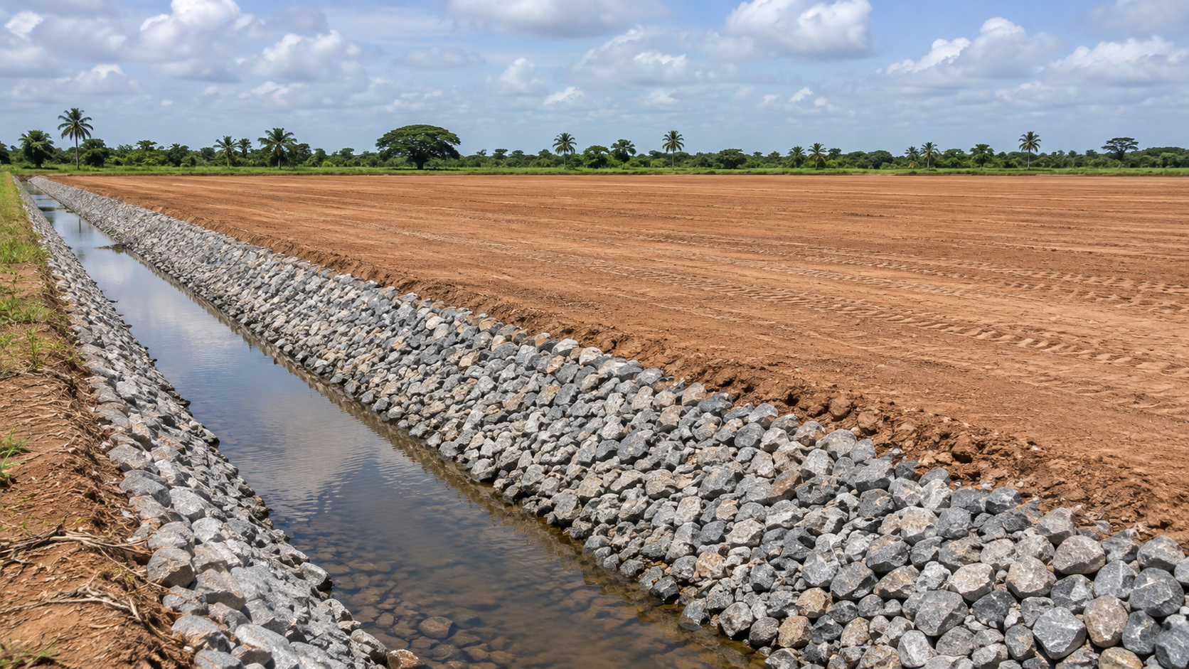
A conceptual drainage corridor shows one element of a site-specific reclamation design.
AI-generated illustration · Not an existing or approved project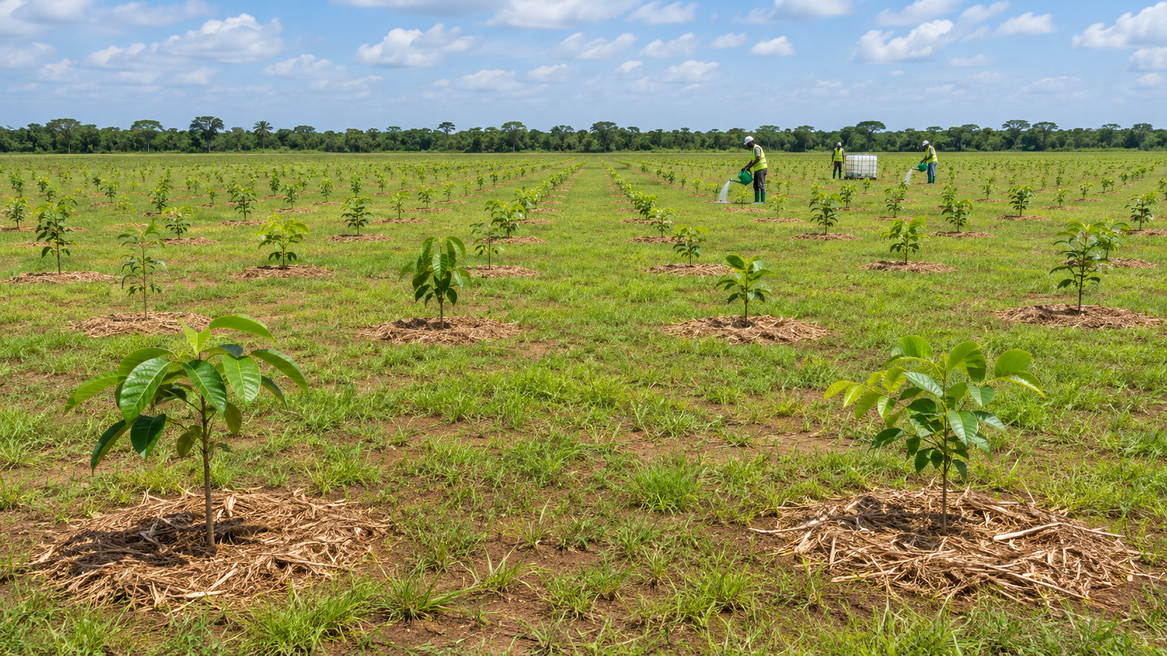
Revegetation can form part of an agreed recovery strategy, with monitoring and long-term care.
AI-generated illustration · Not an existing or approved projectApproximately 100 acres were reported as the reclamation programme target. That figure is not a surveyed development parcel.
Documented pits, disturbed land and ongoing reclamation reporting.
Explore location →Acreage has not been verified.
Published research identifies an abandoned mined site; parcel availability requires investigation.
Explore location →Acreage has not been verified.
The Assembly reports reclamation of mining-affected land. Existing works and future land-use commitments must be checked.
Explore location →320 hectares combined, approximately 791 acres, reported reclaimed.
Existing restoration sites with tree-planting commitments; availability for development is unconfirmed.
Explore location →Our next project milestone is a verified site dossier: ownership, coordinates, topographic survey, pit inventory, environmental screening and an initial infrastructure review.
See the delivery pathway →